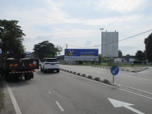
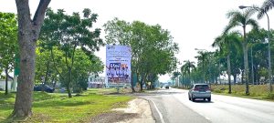
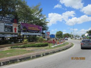

Freestanding BillboardHighway
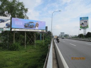
Freestanding Billboard @ Persiaran Mewah Junction Exit Salak Highway Side A
Persiaran Mewah Salak Highway Billboard Side A This freestanding billboard at Persiaran Mewah near the Lebuhraya Cheras exit and Bandar Tun Razak gives brands direct access to local motorists and highway-linked traffic. With ESSO and...