
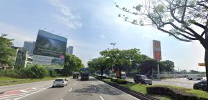
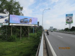
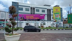
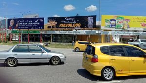
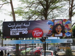
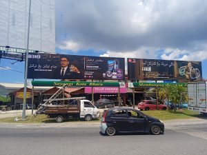
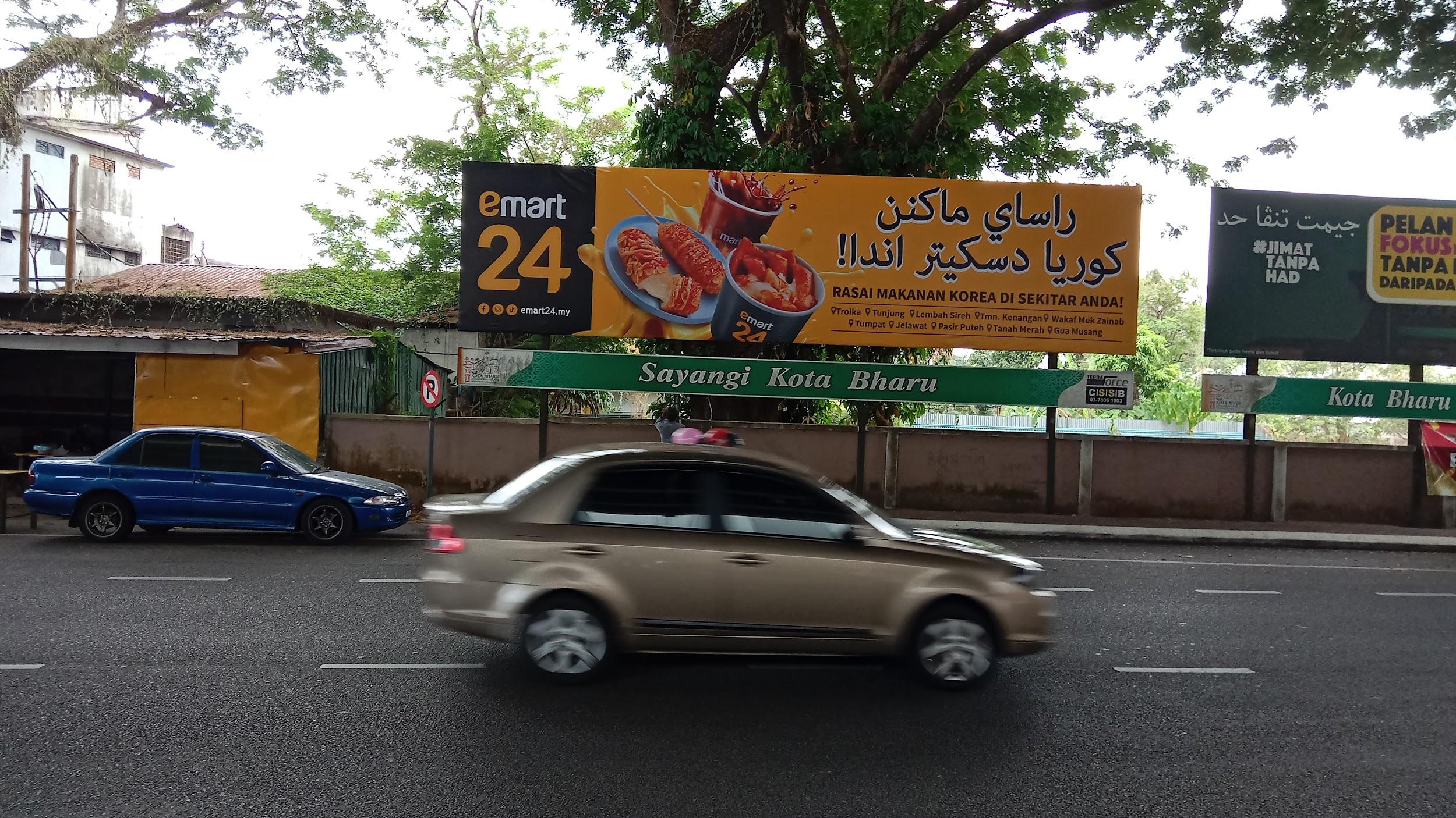
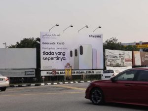
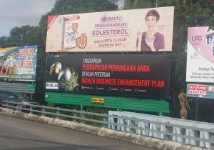
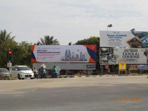
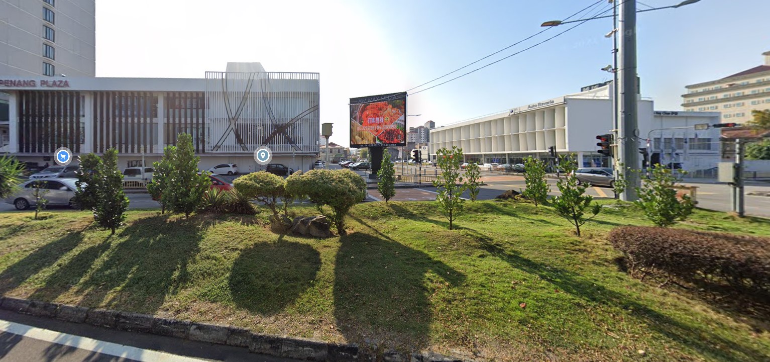
Jalan Anson Georgetown Billboards

Purchasing Power

Purchasing power is moderate to strong, supported by residents, medical users, students, office workers and visitors to central George Town.

Ethnicity/Race

The corridor serves George Town’s diverse population, including Chinese, Malay, Indian, students, hospital users, workers, residents, tourists and small business operators.

Prominent Roads

Prominent roads include Jalan Anson, Jalan Macalister, Jalan Perak, Jalan Burma, Jalan Dato Keramat and links toward George Town city centre.

Local Businesses(Retails/Factories

Local businesses include clinics, pharmacies, restaurants, cafes, mini markets, offices, schools, hotels, workshops and neighbourhood retail.

Cost of living

Cost of living is medium to high for Penang because the area is close to George Town, hospitals, schools and established residential neighbourhoods.

Landmarks

Landmarks include nearby schools, medical centres, Macalister Road hotels, George Town heritage areas, local shoplots, churches, temples and established residential streets.

Highlights & Attractions

Highlights include central George Town access, hospital and school catchments, mature urban neighbourhoods, heritage proximity and steady weekday traffic.

Population data

The catchment includes George Town residents, students, hospital users, office workers and visitors from Macalister, Perak Road, Jalan Burma and heritage-city areas.

Traffic Flow & Movement

Traffic is moderate to heavy during school periods, office hours, hospital visiting times and city-centre peak movement. Congestion can build around junctions to Macalister Road, Perak Road and nearby school or hospital zones.

Market Profile

Jalan Anson is suitable for clinics, F&B, education services, convenience retail, pharmacies, offices, residential services, hospitality support and neighbourhood businesses.

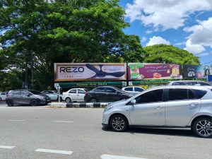
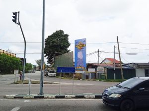
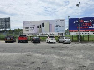
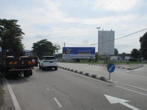
Jalan Anson is a well-known road in George Town, Penang, connecting inner-city neighbourhoods with Macalister Road, Perak Road, Jalan Burma and the wider city-centre network. It is surrounded by schools, hospitals, heritage areas, shops and residential streets.

MAP-MAIN(SHOP) F1

Location Search

Location Search
Type F5

Reset