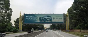
Jalan Hang Tuah Static & Digital Billboards

Purchasing Power in Jalan Hang Tuah

Purchasing power is broad and strong, supported by commuters, students, shoppers, office workers, tourists, hotel guests and nearby residents.

Jalan Hang Tuah Ethnicity

The corridor serves a diverse KL profile with Malay, Chinese, Indian, migrant-worker, student, tourist, office-worker and transit-user communities.

Jalan Hang Tuah Prominent Roads

Prominent roads include Jalan Hang Tuah, Jalan Pudu, Jalan Imbi, Jalan Loke Yew, Jalan Maharajalela, Jalan Sultan and routes toward Bukit Bintang and Chinatown.

Jalan Hang Tuah Local Businesses

Local businesses include hotels, restaurants, convenience shops, schools, clinics, offices, budget retail, transit services, workshops and advertising media sites.

Cost of Living in Jalan Hang Tuah

Cost of living is high for inner Kuala Lumpur, especially for business premises, hotels and transit-adjacent commercial space, while budget retail and older shoplots remain present.

Jalan Hang Tuah Market Profile

Jalan Hang Tuah is suitable for F&B, hotels, convenience retail, transport-linked services, education services, advertising, clinics, budget retail and tourism-facing businesses.

Jalan Hang Tuah Transportation Facts

Famous Landmarks in Jalan Hang Tuah

Landmarks include Hang Tuah transit station, BBCC area, Berjaya Times Square nearby, Stadium Negara, Merdeka 118 precinct, schools and Pudu commercial areas.

Jalan Hang Tuah Highlights & Attractions

Highlights include strong public transport access, city-centre visibility, Bukit Bintang and Pudu proximity, steady commuter flow and historic KL connectivity.

Jalan Hang Tuah Populations

The catchment includes Pudu, Imbi, Chinatown, Bukit Bintang, Merdeka 118, transit commuters, school users and motorists using southern KL city links.

Jalan Hang Tuah Traffic Flow & Movements

Traffic is heavy during rush hours and remains busy through the day due to transit stations, shopping areas, schools, offices and links toward Pudu, Imbi, Jalan Loke Yew and Chinatown.

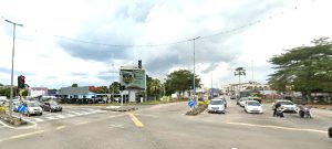
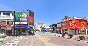
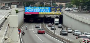
Jalan Hang Tuah is a major Kuala Lumpur city road linking Pudu, Bukit Bintang-side routes, Chinatown, Jalan Maharajalela and the southern city approach. It is important for commuters, transit users, shoppers, students and city-centre traffic.

MAP-MAIN(SHOP) F1

Jalan Hang Tuah Kuala Lumpur

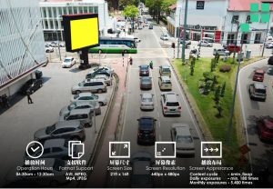
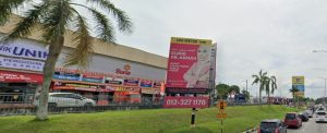
This DOOH location on Jalan Hang Tuah reaches a busy Kuala Lumpur retail and transit corridor near Berjaya Times Square, Plaza Low Yat and Sungei Wang Plaza. It is strong for youth, tech and shopping...

Jalan Hang Tuah Monorail Station Domination

Jalan Hang Tuah Monorail Station Location : Strategically located at key entry point to heart of KL city centre – Jalan Hang Tuah Surrounding Landmarks: Key interchange station with Ampang Line Hang Tuah Station. Close...

LED Digital Billboard – Jalan Hang Tuah

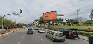
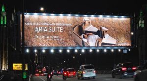
Jalan Hang Tuah in Kuala Lumpur reaches a dense city-centre audience moving between Bukit Bintang, Pudu, Jalan Dewan Bahasa and Jalan Raja Chulan. As a digital site, it suits brands that need timely, high-frequency urban...

LED Digital Billboard Jalan Hang Tuah

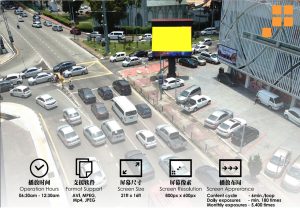
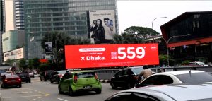
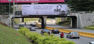
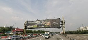
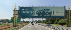
Jalan Hang Tuah LED Digital Billboard for Fast Urban Recall The LED Digital Billboard along Jalan Hang Tuah is strategically placed near intersection roads, giving brands a clear DOOH presence in a busy Kuala Lumpur...

Location Search

Location Search
Type F5

Reset