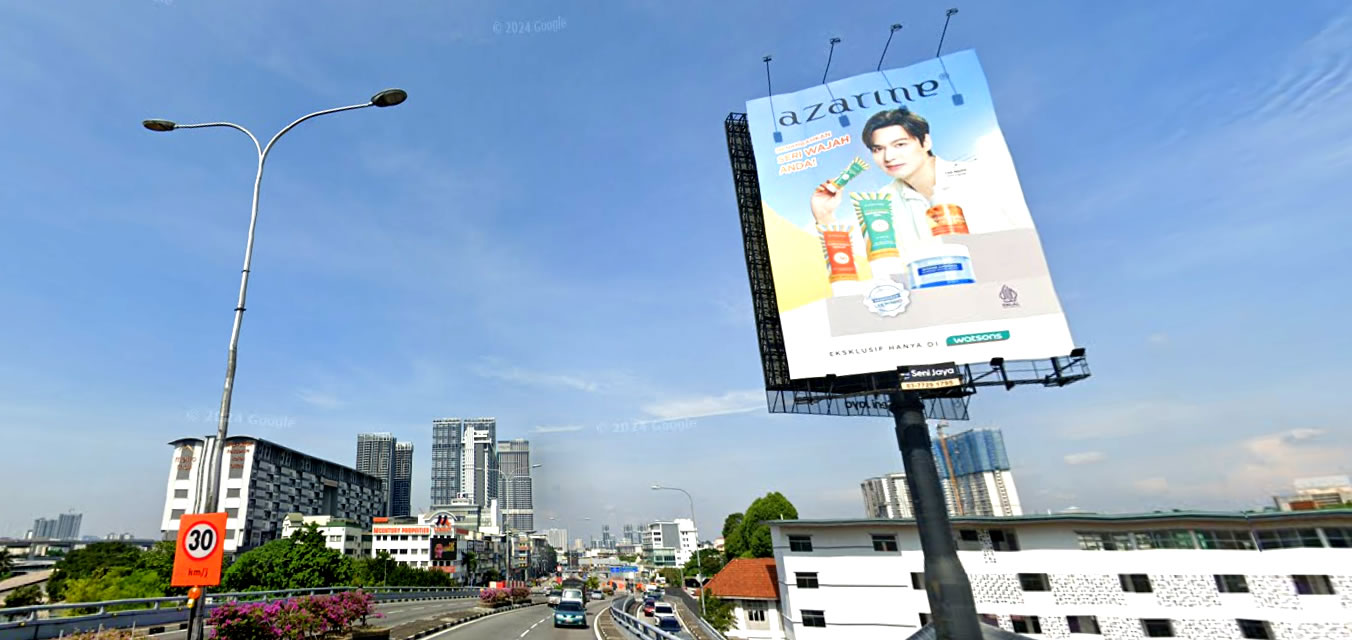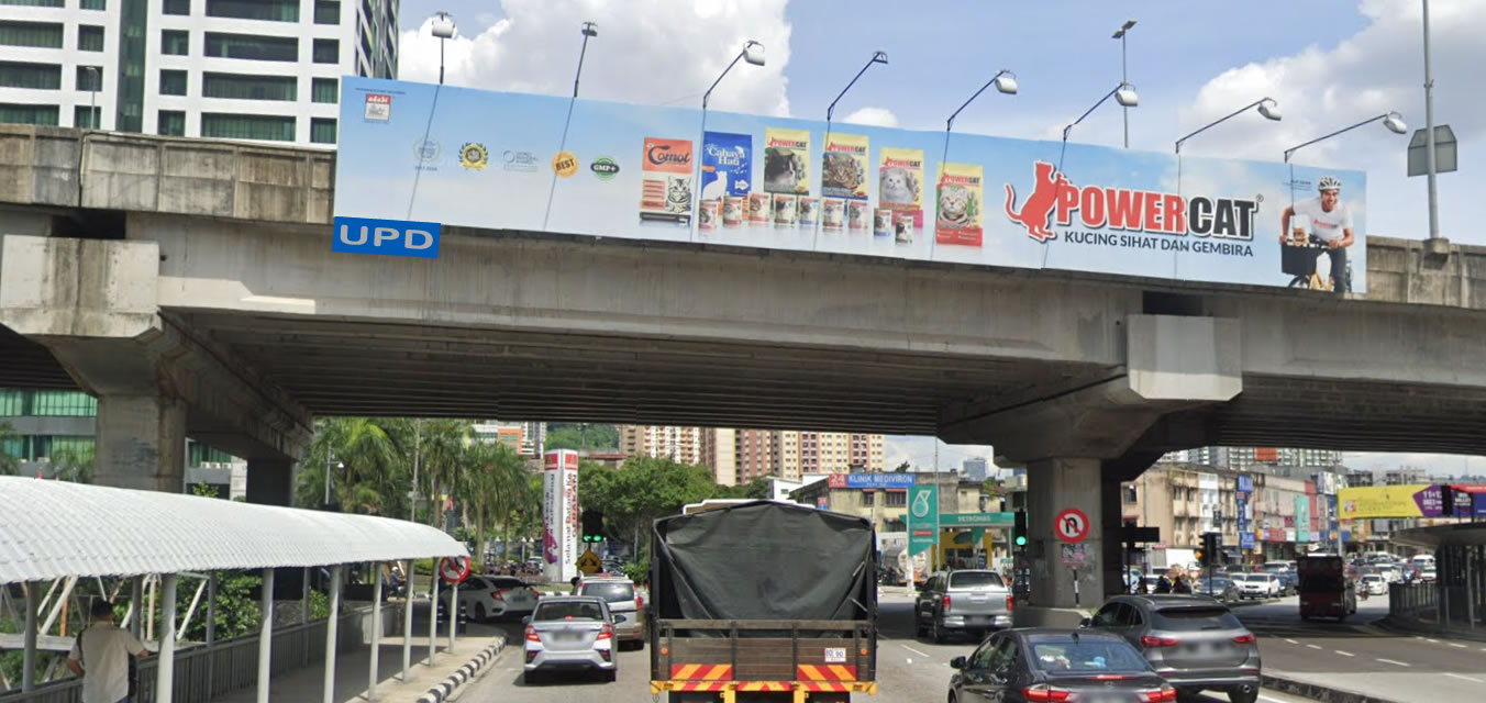
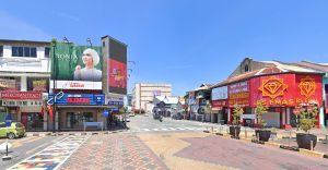

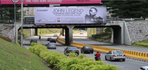
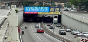
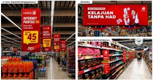

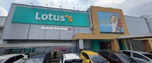

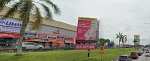
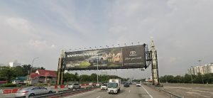

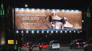

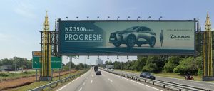

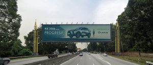
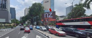
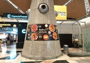

Max Outdoor Outdoor’s network reads like a map of the Klang Valley’s growth corridors. Rather than clustering in the city centre, its sites follow the roads where suburban commuters, airport traffic and new townships actually move.
Here’s a look at the roads in the network, grouped by corridor, and what each one reaches.
The Southern Growth Belt: Kajang, Bangi And Semenyih
This is the heaviest concentration in the portfolio, and it reflects where the Klang Valley has expanded fastest over the past decade.
- Exit Tol Seri Putra, Mahkota Bangi — catches traffic leaving the tolled highway into the Bangi townships
- Bandar Baru Bangi — sites near Primavalet and JAKEL, plus the Persiaran Pekeliling roundabout
- Jalan Bangi off Jalan Reko — near Persiaran KWSP, serving office and residential traffic
- LEKAS Highway KM3.8, Kajang — the Kajang–Seremban expressway heading south
- Jalan Semenyih off LEKAS and Jalan Broga off Jalan Semenyih — feeder roads into Semenyih’s newer housing
- Pelangi Semenyih, Kajang — a fast-growing residential catchment
These roads reach young families and first-home buyers, making them well suited to property, retail, education and FMCG campaigns.
SILK And Sungai Long
Two sites sit at Jalan Dutamas Business Central off the SILK Highway near Cheras Selatan, and two more at the main traffic light in Bandar Sungai Long. Stopped traffic at a busy junction gives drivers real time with the board.
The Western Corridor: LDP And Subang
The LDP is one of the busiest commuter roads in the Klang Valley, and Max Outdoor has sites along several stretches.
- LDP near Mutiara Damansara — close to the IKEA, IPC and The Curve retail cluster
- LDP near Ara Damansara and Bandar Menjalara — covering the corridor’s northern and western ends
- LDP at Puchong Gateway, Equine Park — the southern end, facing heavy Puchong commuter flows
- SS15 Subang Jaya — at the roundabout near Metropolitan College, in a student-heavy area
Klang And Shah Alam
- Bulatan Berkeley, Klang — two sites at one of Klang’s busiest roundabouts
- Jalan Meru, Bandar Bukit Raja — serving Klang’s northern growth area and its retail hub
- Batu Tiga, Shah Alam — near the Federal Highway interchange and industrial belt
This cluster reaches a broad mix of industrial, commuter and family traffic across Selangor’s western side.
Kuala Lumpur City Roads
- Jalan Kuching, PWTC — a major northern entry into the city
- Jalan Pahang, DUKE Highway overhead bridge — facing traffic head-on near the Titiwangsa area
- Jalan Templer off Jalan Klang Lama — serving Old Klang Road’s dense residential corridor
- Sungai Besi, Chan Sow Lin — on the southern approach into the city
- Desa Petaling, S-Park building — a southern suburban site
- Lebuhraya Bukit Jalil — near the national stadium and Pavilion Bukit Jalil area
- Zoo Negara entrance, MRR2 — on the ring road through Ampang and Hulu Kelang
- Plaza Tol Rawang, Jalan Batu Arang — the northern edge of the Klang Valley
The Airport And Putrajaya Corridor
Several sites follow the roads toward KLIA, Cyberjaya and Putrajaya, reaching air travellers, civil servants and tech-park workers.
- ELITE Highway at KM20.4 and KM21.8 — near the Cyberjaya and Putrajaya exit
- ELITE Highway KM30 — further south toward the airport
- KLIA Highway KM45.4 — on the direct approach to the airport
- Jalan Kuarters KLIA, Sepang — serving airport staff housing and local traffic
- MEX Highway — linking the city to Putrajaya and Cyberjaya
- Cyberjaya and Putrajaya — sites within the administrative and tech hub
- KL–Seremban Highway near UPM, Serdang — covering the university area
Beyond The Klang Valley
Two sites extend the network into other states:
- KM216 near Gambang, Kuantan — on the east coast route
- PLUS Highway KM34.5 near Kulai, Johor — on the southern stretch toward Johor Bahru
What The Network Is Good For
The pattern is clear: Max Outdoor is strongest in suburban growth areas and airport routes rather than the Golden Triangle. That makes it a natural fit for campaigns targeting families, new homeowners and commuters in the outer Klang Valley, where screen clutter is lower and rates tend to be more accessible than in the city centre.
Bigger, Bolder, Brighter: A Road-By-Road Guide To Max Outdoor Outdoor’s Billboard Network
Max Outdoor Outdoor’s network reads like a map of the Klang Valley’s growth corridors. Rather than clustering in the city centre, its sites follow the roads where suburban commuters, airport traffic and new townships actually move.
Before walking through the roads, here’s what the company says it sets out to deliver.
What Max Outdoor Outdoor Offers
Max Outdoor Outdoor positions itself around impactful, innovative and strategically placed advertising platforms that amplify brand visibility and drive meaningful audience engagement, across both indoor displays and large outdoor billboards.
Coverage And Placement
- Nationwide billboard coverage, with sites across the Klang Valley and beyond
- Strategic location placement on commuter roads, junctions and highway exits
- High visibility and reach across suburban and airport corridors
- 24/7 exposure, with sites working around the clock
- Suitable for both local and national campaigns
Formats And Flexibility
- Customisable indoor and outdoor advertising options
- Digital advertising solutions with vibrant, high-quality displays
- Real-time content updates on digital sites, without reprinting
- Creative tailored to each brand’s identity
- Long-term and short-term packages to suit different budgets
Support Beyond The Board
The company also highlights its digital marketing expertise and a focus on cost-effective branding, positioning itself as a partner for campaign planning rather than just a landlord for billboard space.
The Southern Growth Belt: Kajang, Bangi And Semenyih
This is the heaviest concentration in the portfolio, and it reflects where the Klang Valley has expanded fastest over the past decade.
- Exit Tol Seri Putra, Mahkota Bangi — catches traffic leaving the tolled highway into the Bangi townships
- Bandar Baru Bangi — sites near Primavalet and JAKEL, plus the Persiaran Pekeliling roundabout
- Jalan Bangi off Jalan Reko — near Persiaran KWSP, serving office and residential traffic
- LEKAS Highway KM3.8, Kajang — the Kajang–Seremban expressway heading south
- Jalan Semenyih off LEKAS and Jalan Broga off Jalan Semenyih — feeder roads into Semenyih’s newer housing
- Pelangi Semenyih, Kajang — a fast-growing residential catchment
These roads reach young families and first-home buyers, making them well suited to property, retail, education and FMCG campaigns.
SILK And Sungai Long
Two sites sit at Jalan Dutamas Business Central off the SILK Highway near Cheras Selatan, and two more at the main traffic light in Bandar Sungai Long. Stopped traffic at a busy junction gives drivers real time with the board.
The Western Corridor: LDP And Subang
The LDP is one of the busiest commuter roads in the Klang Valley, and Max Outdoor has sites along several stretches.
- LDP near Mutiara Damansara — close to the IKEA, IPC and The Curve retail cluster
- LDP near Ara Damansara and Bandar Menjalara — covering the corridor’s western and northern ends
- LDP at Puchong Gateway, Equine Park — the southern end, facing heavy Puchong commuter flows
- SS15 Subang Jaya — at the roundabout near Metropolitan College, in a student-heavy area
Klang And Shah Alam
- Bulatan Berkeley, Klang — two sites at one of Klang’s busiest roundabouts
- Jalan Meru, Bandar Bukit Raja — serving Klang’s northern growth area and its retail hub
- Batu Tiga, Shah Alam — near the Federal Highway interchange and industrial belt
This cluster reaches a broad mix of industrial, commuter and family traffic across Selangor’s western side.
Kuala Lumpur City Roads
- Jalan Kuching, PWTC — a major northern entry into the city
- Jalan Pahang, DUKE Highway overhead bridge — facing traffic head-on near Titiwangsa
- Jalan Templer off Jalan Klang Lama — serving Old Klang Road’s dense residential corridor
- Sungai Besi, Chan Sow Lin — on the southern approach into the city
- Desa Petaling, S-Park building — a southern suburban site
- Lebuhraya Bukit Jalil — near the national stadium and Pavilion Bukit Jalil area
- Zoo Negara entrance, MRR2 — on the ring road through Ampang and Hulu Kelang
- Plaza Tol Rawang, Jalan Batu Arang — the northern edge of the Klang Valley
The Airport And Putrajaya Corridor
Several sites follow the roads toward KLIA, Cyberjaya and Putrajaya, reaching air travellers, civil servants and tech-park workers.
- ELITE Highway at KM20.4 and KM21.8 — near the Cyberjaya and Putrajaya exit
- ELITE Highway KM30 — further south toward the airport
- KLIA Highway KM45.4 — on the direct approach to the airport
- Jalan Kuarters KLIA, Sepang — serving airport staff housing and local traffic
- MEX Highway — linking the city to Putrajaya and Cyberjaya
- Cyberjaya and Putrajaya — sites within the administrative and tech hub
- KL–Seremban Highway near UPM, Serdang — covering the university area
Beyond The Klang Valley
- KM216 near Gambang, Kuantan — on the east coast route
- PLUS Highway KM34.5 near Kulai, Johor — on the southern stretch toward Johor Bahru
What The Network Is Good For
The pattern is clear: Max Outdoor is strongest in suburban growth areas and airport routes rather than the Golden Triangle. That makes it a natural fit for campaigns targeting families, new homeowners and commuters in the outer Klang Valley, where screen clutter is lower and rates tend to be more accessible than in the city centre.
Combined with its mix of short and long-term packages and digital sites that can be updated in real time, the network suits both local businesses testing outdoor for the first time and national brands filling gaps outside the city centre.